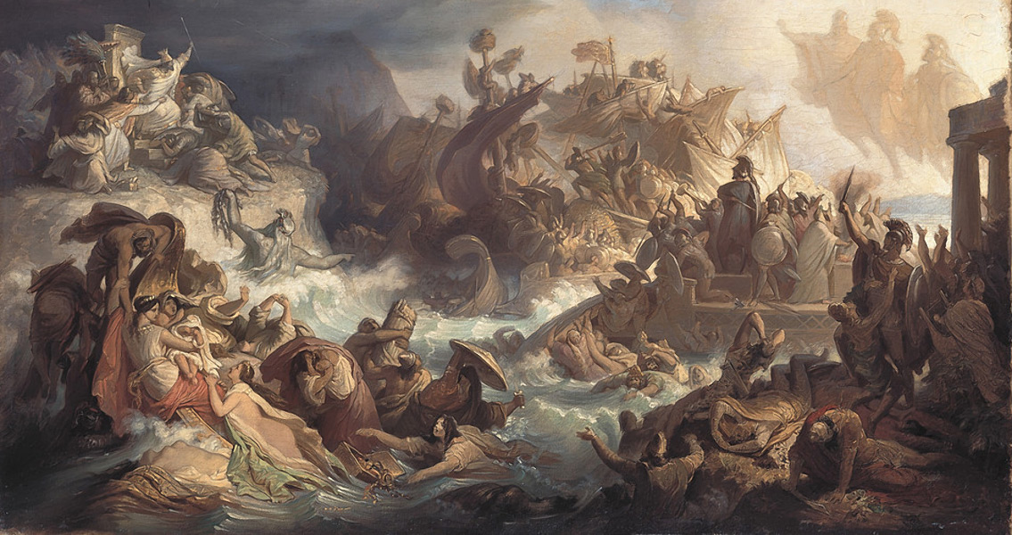
<![CDATA[The Greek Ministry of Culture has announced that a team of scientists has discovered the location where the naval forces of Greece and its allies gathered prior to the historic battle of Salamis against the Persians in 480 BCE. Considered by many to be the turning point of the second Persian invasion into Greece, the battle was fought in the Saronic Gulf, in the straits that divide the mainland and the island of Salamis from which the battle took its name. The site is believed to have been where the navy port as well as a commercial port for the island were located. In ancient Greece, the naval port of Salamis was the largest of four ports, and the closest one to the Athenian state. The other three ports were Piraeus Kantharos, Munichia and Zea. The naval battle was fought between the significantly outnumbered alliance of Greek city-states ruled by Themistocles and the Persian Empire under the rule of King Xerxes. It ended in a decisive Greek victory. “It is the commercial and probably war port of the classical and Hellenistic period of the city-state of Salamis”, the Ministry announcement states, adding, “It is also the region where a portion of the united Greek navy had gathered on the eve of sea battle in 480 BCE… It is the pool part of the united Greek fleet on the eve of the great battle of 480 BCE, which is adjacent to the most important monuments of the Victory: the Polyandreion (tomb) of Salamis fighter and the Trophy on Kynosoura.” The port of Salamis is referenced in the writings of geographers Skylakos from the fourth century BCE, and Stravon from between the first century BCE and first century CE, as well as in the works of geographer and traveler Pausanias from the second century CE. Using data collected through photogrammentric processing, aerial photography, and architectural and topographical documentation, the team of experts was able to create the first map of the region. The antiquities sink and are then exposed as the sea level changes, an elevation change that can be as high as half a meter in some months. Buildings which are considered to be of great historical significance, such as fortifications, port related structures and a number of other buildings have also been identified. Herodotus, an Ancient Greek historian, documented that the Greek fleet consisted of 378 triremes, while the Persian fleet originally totaled 1,207 triremes. However, according to his writings, the Persians lost around a third of their ships to a storm they encountered off the coast of Magnesia, followed by the loss of 200 more ships due to a storm off the coast of Euboea, and at least 50 more ships during the Battle of Artemisium. The research team, which started work towards the end of 2016, was composed of 20 scientists and experts from a variety of Greek universities and archaeological organizations. It was funded by the British Horon Frost Foundation, a supporter of Maritime Archaeology in the eastern region of the Mediterranean Sea. ]]>
Ancient Greek Battle of Salamis Site Discovered
