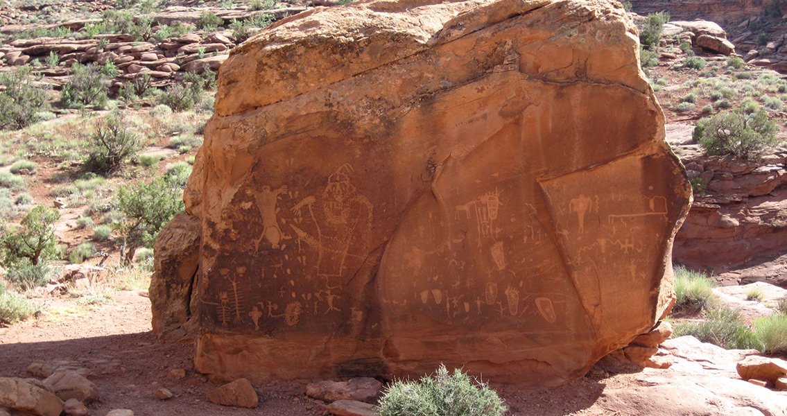
<![CDATA[Predictive modeling is a new technique being used by researchers to identify new archaeological sites; it predicts where sites may be located based on the qualities common to other known sites - and boy does it work. A team of archaeologists from the company Logan Simpson, based in Utah, discovered 19 individual sites which contained numerous biface blades and stone points as well as other artifacts from the Paleoarchaic Period (between 7,000 and 12,000 years ago). The sites are located approximately 100 miles (160 kilometers) outside of Las Vegas, Nevada, along streams and lakes that disappeared long ago. Archaeologists believe the sites were once used by ancient hunter-gatherer groups. Scarce and widely scattered, the pieces could help clarify the little known history of the human activity that occurred throughout the Great Basin as the Ice Age began to evolve into a warmer climate. As remote as they are, the sites may have never been found using traditional methods. Within Delamar Valley, Dry Lake Valley and Kane Springs, all in Nevada, archaeologists have discovered sites - such as Lake Mojave, Clovis, and Silver Lake - that contained stone-tools including scattered stemmed and fluted projectile points constructed in styles which date back as far as 12,000 years ago. To many archaeologists, this era marks the shift from the Pleistocene to the Holocene epoch, a period of time in the American West barely studied. The senior archaeologist from Logan Simpson who lead the study, Jess Adams, has been reported as saying, “The Pleistocene-Holocene Transition period is a little known but fascinating time period, especially to everyone in our office, as we have identified similarly aged sites during other projects in the Great Basin which piqued our interest.” The Great Basin is defined as the largest area of connected endorheic water basins in North America. It’s known for its arid climate and range of topography from the lowest point in North America (Badland Basin) to the highest point (Mount Whitney summit) fewer than 100 miles (160 kilometers) away. Previous research within the Great Basin found signs of human activity dating from the Pleistocene era. These signs were most commonly found in particular types of land formations close to water and marshlands. For example; on the shores of dried up lakes, on rock formations which overlooked them or alongside the channels that flowed into or out of them. Funded by the Bureau of Land Management’s Lincoln County Archaeological Initiative, Adams along with his colleagues used geographic information system technology (GIS) to predict where Pleistocene-Holocene activity might be found. Their research model was focused on the fact the Great Basin’s climate was wetter and cooler towards the end of the Pleistocene than today, with lakes and marshes that would have attracted hunter-gatherers over many centuries. After the mapping process using aerial photos and GIS, among other tools, the researchers were able to pinpoint and rank the locations which seemed the most promising sites. Researchers found artifacts not only from the Paleoarchaic era, but also several others which were determined to be from more recent periods, indicating the lakeside sites had been used many times over the millennia. The newly discovered sites are providing researchers the best view to date of the distant past within this region of the Great Basin. It’s also proved that predictive modeling based on GIS can work, which could be valuable in the search for other undiscovered prehistoric sites. ]]>
Predictive Modeling Unearths 12,000 Year Old Stone Tools
