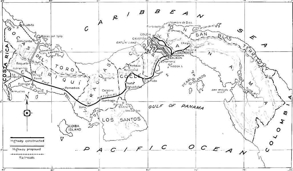
<![CDATA[This week marks the hundred year anniversary of the opening of the Panama Canal, one of the world’s most important trade routes. The history of this vital link between East and West is a long and complicated one filled with political controversies and tragedy. Officially opened on the 15th August, the canal links the Pacific and Atlantic Oceans. Its creation means ships no longer have to sail around South America and the treacherous Cape Horn to travel between the oceans. The canal is located in the Isthmus of Panama, the narrow strip of land between the Caribbean and Pacific, connecting North America to South America. There are locks at both ends of the canal that lift ships up to Gatun Lake, 26 metres above sea level. The whole canal takes some thirty hours to traverse, drastically less time than the alternative route. Between 1914 and 2008 the annual traffic for the canal rose from about 1,000 ships to over 14,000, reflecting the importance of the canal, as well as growing international trade in the region. The building of the canal facilitated the integration of Pacific territories into the world economy, as well as opening up large scale trade between the East and West coasts of the U.S. It has a long and tumultuous history. The U.S. started supervising work on the canal in 1904. By its completion $400 million had been spent, 70,000 had worked on the canal and over 5,600 deaths were recorded amongst the workers, largely caused by malaria or yellow fever. The first attempt at a canal was made by France in 1881 however this was quickly abandoned due to the high mortality rate and a host of engineering problems. The project had spent over $287,000,000 with little sign of progress, and over 22,000 lives had been lost to accident and disease. The canal’s origins were shrouded in political controversy. In 1903 Panama was a region in Colombia. The Hay Herran Treaty was signed by U.S. and Colombian diplomats in January 1903, with the intention of giving the US a perpetual lease on the land where the Canal was to be built. However, this treaty was blocked by Colombia’s Senate. Faced with this obstacle, the U.S. President, Theodore Roosevelt decided to take a different approach. Roosevelt was informed of a separatist movement in the Panama region, a group of rebels who wanted independence from Colombia and planned an uprising. Sensing an opportunity, the U.S. government pledged support for the separatists. U.S. Navy ships entered the region to slow the movement of Colombian naval vessels tasked with suppressing the rebellion, under the pretext of protecting the Panama railway. Ultimately the rebels were successful, and Panama was quickly recognised as an independent state by the US. By November 1903 the United States and Panama had signed the Hay Herran Treaty, giving the US authority to build the canal and administer the region. This inauspicious start provides a hint to the problems that would surround the canal over the coming years. ‘The Canal Zone’ as it came to be known was largely populated by U.S. citizens, and the economic benefits of it were exported out of Panama. The Panamanian population became increasingly dissatisfied with their side of the deal, and anti-American riots began in the territory. The US and Panama government started working together to find a solution, and in 1977 US President Jimmy Carter signed an agreement to hand over control of 60% of the territory to Panama by 1979. At midday on December 31st 1999, the Canal Zone was completely handed over to Panamanian control. It is considered a neutral territory allowing passage to any ship, even during war time. Responsibility for the canal’s defence is shared equally between the US and Panama. The history of the canal tells us a great deal about modern history. Its importance reflects the growing forces of globalisation. The huge death tolls from its creation tell us about the horrific working conditions that still prevailed just a century ago. Finally, the political controversies surrounding it serve as a microcosm of the relationship between the USA and South and Central America.]]>
A Century Since the Opening of the Panama Canal
